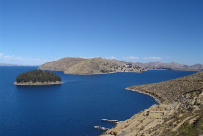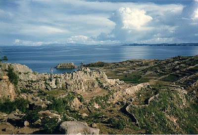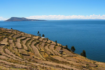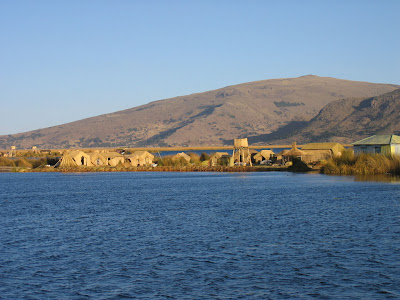
As see from space. (Source)

Incahuasi island in the center of Salar de Uyuni. (Source)

Dried Surface. (Source)
The Salar was formed as a result of transformations between several prehistoric lakes. The area was part of a giant prehistoric lake called Lake Minchin some 30,000–42,000 years ago. It is covered by a few meters of salt crust, which has an extraordinary flatness with the average altitude variations within one meter over the entire area of the Salar. The crust serves as a source of salt and covers a pool of brine, which is exceptionally rich in lithium. It contains 50% to 70% of the world's lithium reserves and is yet to be extracted.
The salt is the Salar is being mined and the salt block is also use to make construction materials like walls for hotels.
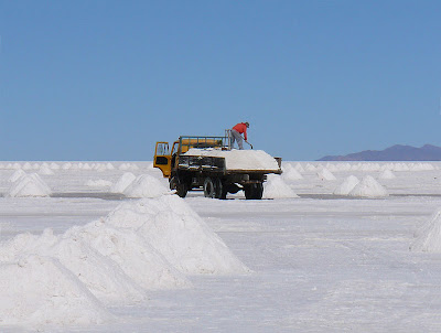
Salt production. (Source)

Salt building. (Source)

Salt building. (Source)
When covered with water, the Salar becomes one of the largest mirrors on Earth.

Reflection. (Source)
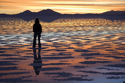
Sunset reflection. (Source)
One major tourist attraction is an antique train cemetery which is 3 kilometers outside Uyuni and is connected to it by the old train tracks. The town served in the past as a distribution hub for the trains carrying minerals enroute to Pacific Ocean ports. The rail lines were built by British engineers arriving near the end of the 19th century and formed a sizeable community in Uyuni.

The train cemetery. (Source)

Piles of salt. (Source)
Despite having salt everywhere, has a variety of plants and animals.
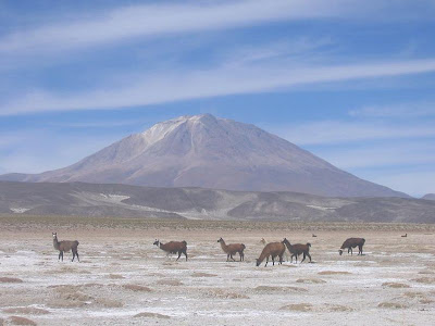
Llamas roaming the Salar. (Source)

Giant cactus. (Source)
The large area, clear skies and exceptional surface flatness make the Salar an ideal object for calibrating the altimeters of the Earth observation satellites. The Salar also serves as the major transport route across the Bolivian Altiplano and is a major breeding ground for several species of pink flamingos.

Pink Adean flamingos. (Source)
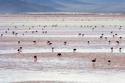
Pink Adean flamingos. (Source)
