Google Map View of Mount Fuji (Source)
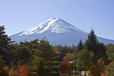
Although it's last eruption was in 1708, Mount Fuji is an active stratovolcano volcano. This nearly perfectly shaped volcano has been worshiped as a sacred mountain and experienced big popularity among artists, common people and tourists.

Mount Fuji capped wit snow (Source)
Mount Fuji is surrounded by five lakes: Lake Kawaguchi, Lake Yamanaka, Lake Sai, Lake Motosu and Lake Shoji. The climate is very cold due to the altitude and the cone is covered by snow for several months of the year. The lowest recorded temperature is −38.0 °C while on June 2008 the highest temperature was recorded at 17.8 °C.

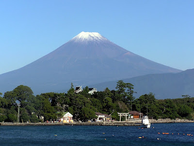
Mount Fuji from Osezaki beach (Source)

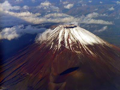
Mount Fuji view from an airplane (Source)

Mount Fuji view from an airplane (Source)
2 comments:
nice! just saw a hit on my Fuji photo coming from this page. Thanks for the trackback link. Mike
www.flickr.com/mikefrancis
@mike,
Thanks for dropping by here and for your photo.
Post a Comment