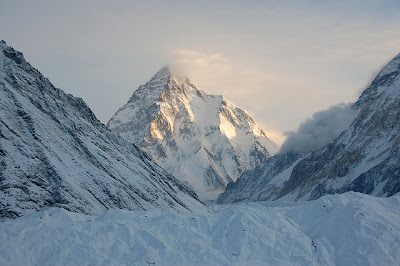
K2 Peak. (Source)
Despite it's natural and captivating beauty, K2 is known as the Savage Mountain. This title is due to the difficulty of ascent, severe weather and the 2nd highest fatality rate of climber. In fact, one in every four people who reached the summit died trying to climb it.
It is typically climbed in June, July, or August. The weather near the summit is very unpredictable and dangerous, especially during winter season. So dangerous that K2 has never been climbed in winter.

Clouds in K2 Peak. (Source)

Clouds in K2 Peak. (Source)
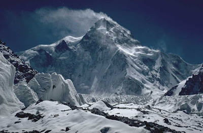
There are six major routes to have been climbed on the south side of the mountain: West Ridge, West Face, Southwest Pillar, South Face, South-southeast Spur, Abruzzi Spur. The north side is the steepest where is rises 10,499 ft in only 9,843 ft of horizontal distance.
K2's very first successful climb to the summit was done by Italians named Achille Compagnoni and Lino Lacedelli in July 31, 1954.

North side, the steepest side of K2. (Source)

Climbers with K2 in background. (Source)

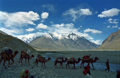
On the way to K2 peak. (Source)

Climbers with K2 in background. (Source)

Camp in the foot of K2. (Source)

K2 Climbers and crew. (Source)
No comments:
Post a Comment