Sunset at Mount Damavand. (Source)

Mount Damavand from space. (Source)
Mount Damavand has a special place in Persian mythology and folklore. It is regarded the Mount Olympus of Persian mythology.

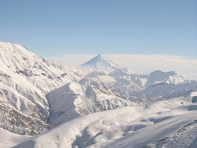
Mount Damavand in winter. (Source)

City view with Mount Damavand in the background. (Source)
Due to it volcanic activity, Monut Damavand has some thermal springs with therapeutic qualities. These mineral hot springs are mainly located on the volcano's flanks and at the base. It's most important hot springs are located in Abe Garm Larijan in a village by the name Larijan in the district of Larijan in Lar Valley . The water from this spring is useful in the treatment of chronic wounds and skin diseases. Near these springs there are public baths with small pools for public use.

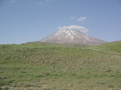
Mount Damavand during spring. (Source)

Cloud cap of Mount Damavand. (Source)

Mount Damavand reflection. (Source)

Beautiful sunrise of Mount Damavand. (Source)
If you are planning to climb this mountain, there about 16 known routes you can take. There routes has varying difficulties, some of them are very dangerous and requires rock climbing.

In the foot of Mount Damavand. (Source)
The best major settlement for mountain climbers is the new Iranian Mountain Federation Camp in Polour village, located on the south of the mountain. The most popular route is the Southern Route which has step stamps and also a camp midway called Bargah Sevom Camp/Shelter at about 13,845 ft. The longest route is the Northeastern and it takes two whole days to reach the summit while the western route is famous for its sunset view.
No comments:
Post a Comment